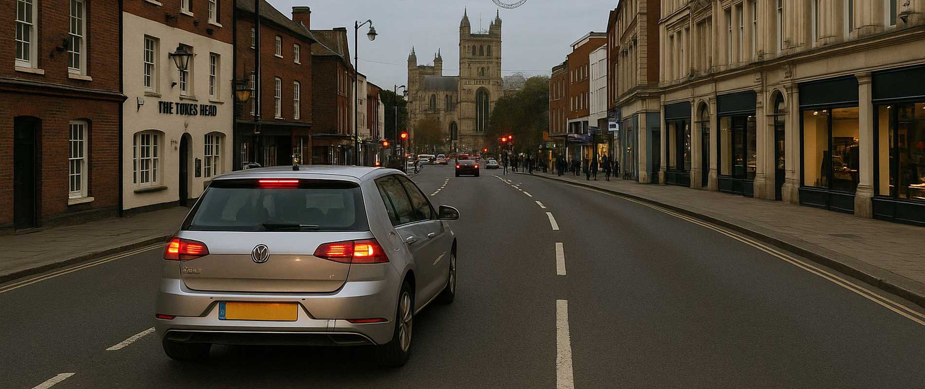
Hills and Road Design
Exeter’s hills and river crossings give it a lively driving map. The A377 and Topsham Road see regular congestion at peak hours, while narrow routes through Heavitree and St Thomas leave little room for error. Insurers weigh those daily conditions carefully.
Parking and Housing Mix
Central areas near Newtown and Polsloe have limited parking, often shared or on-street. Homes in Alphington and Pinhoe, with driveways and garages, are seen as lower risk. The spacing of newer estates helps keep their claim rates modest.
Traffic and Commuting
Commuters heading along the M5 or towards the Science Park add steady volumes to morning traffic. More vehicles mean more small incidents, and the data feeds directly into local averages. Even time of day affects the numbers, with early commuters facing different risk scores than off-peak drivers.
Weather and Flood History
The River Exe has flooded before, though defences now protect the city. Insurers still account for proximity to the floodplain, particularly around Marsh Barton. Higher suburbs towards Pennsylvania or Stoke Hill rarely see issues and often draw better figures.
The Overall Picture
In Exeter, prices follow the terrain: river lowlands, steep climbs, and commuter traffic weaving between the two. It’s a compact city with distinct zones; and insurers price each one on its own terms.

