Town Layout and Traffic
The A12 and A14 frame Ipswich on two sides, keeping it busy with through-traffic. Inside the ring road, routes like Norwich Road and London Road get congested at peak times, raising local claim rates. Outer villages such as Kesgrave or Rushmere record calmer figures.
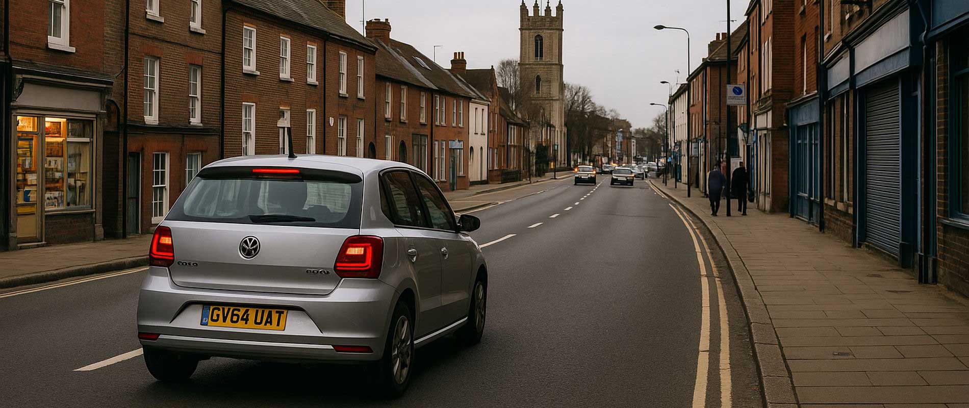
Parking and Street Conditions
Central housing near St Matthew’s and Westgate often depends on on-street parking. Narrow bays and passing vans make minor scrapes more common. Newer homes on the edge of town, with driveways and cul-de-sacs, enjoy lower exposure and steadier insurance costs.
Flood Risk and the Orwell
The River Orwell and its tributaries mean some areas; particularly near Stoke Bridge and Wherstead; carry a mild flood classification. It’s well managed, but it does feature in environmental pricing data. Properties further uphill are usually unaffected.
Commuting and Daily Driving
With strong links to Felixstowe and Colchester, Ipswich sees plenty of freight and commuter traffic. More vehicles mean more recorded incidents, especially on routes leading to the port. Locals who keep their driving within town limits generally fare better.
The Local Snapshot
From tight terraces to open suburban drives, Ipswich’s insurance prices mirror its geography. It’s a mix of old roads, busy arteries, and river-side living; each adding a small line to the premium total.
